Interactive web tourism map

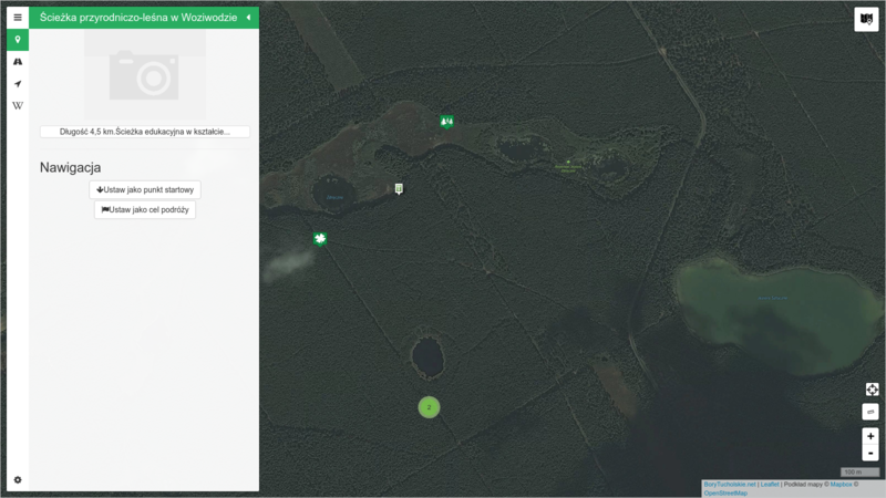
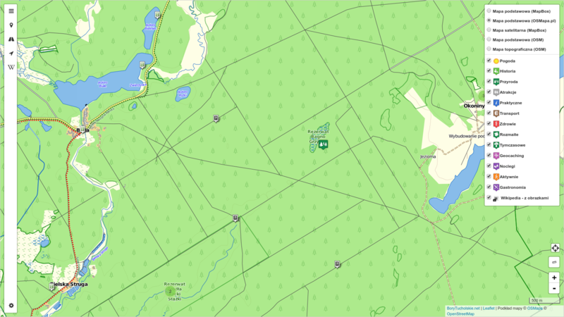
The main goal of this project was to develop an interactive web map of the Tuchola Forest area.
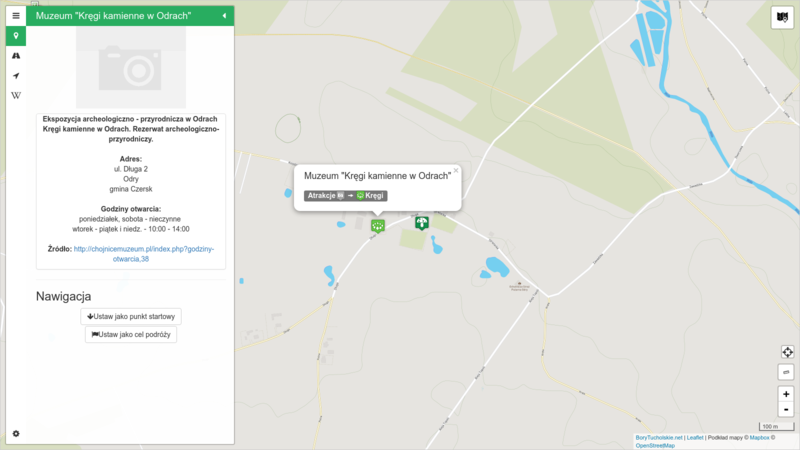
Objects (POIs) available on the map are divided into following categories:
- tourism attractions,
- local events,
- points of interest and tourist facilities,
- tourism information points,
- accomodation, restaurants and useful places,
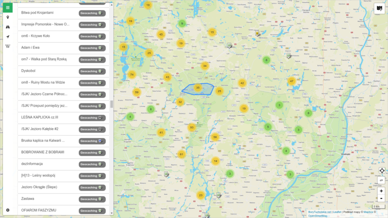
- active leasure (for example geocaches),
- cultural and historical heritage places.
The application is part of the 'Discover Tuchola Forest' project.
Map design is responsive and mobile friendly which makes the map handy when used outdoor.
Main features:
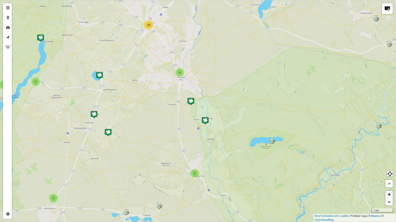
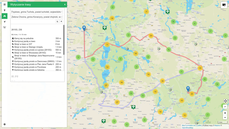
- Displaying and clustering group of objects on the map
- Navigation and trip routing
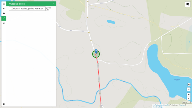
- Geolocation, searching places by address
- Measurement of user-given distances
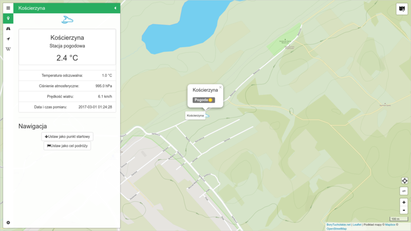
- API integration with external services such as: Wikipedia, weather data providers, social media
